EnvironmentBreaking
Tropical Storm Isaias Forecast to Become First Atlantic Hurricane of 2026
The storm, which formed off eastern Mexico, is expected to strengthen before reaching the US Gulf Coast, marking a belated start to the hurricane season.
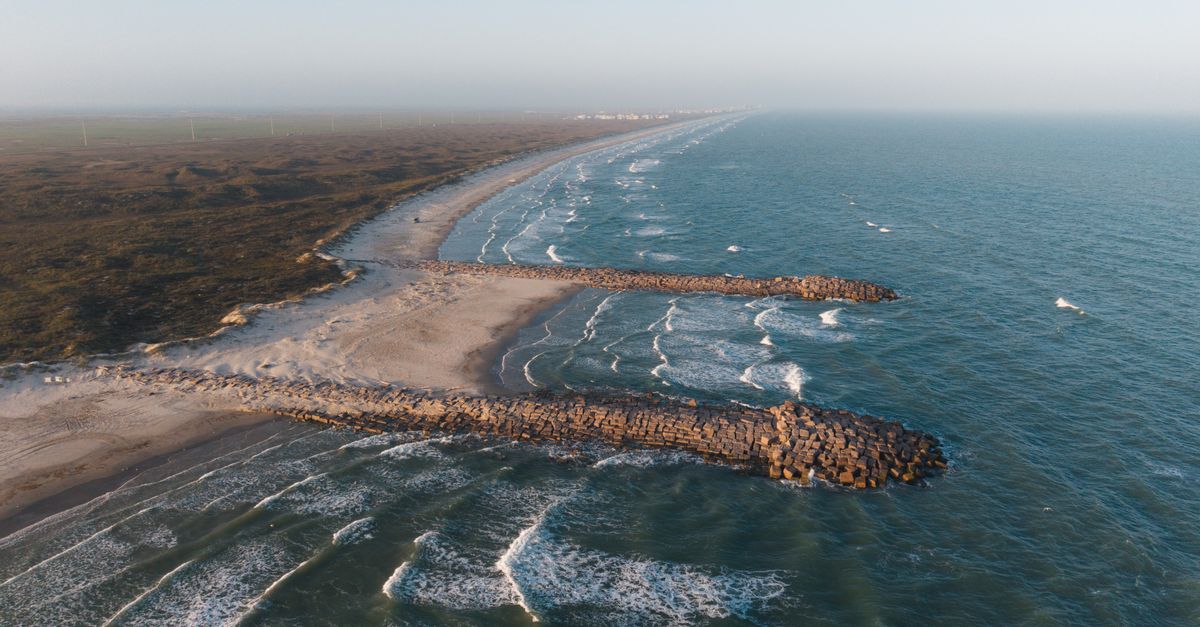
Tropical Storm Isaias is poised to become the first Atlantic hurricane of 2026, with forecasters predicting it will strengthen before making landfall along the US Gulf Coast. The storm's development marks a significant shift in what has been an unusually subdued hurricane season.
Forming early on Wednesday in the warm waters off eastern Mexico, Isaias succeeded Tropical Depression Nine as it gained intensity overnight. According to the National Hurricane Center (NHC), the storm was situated approximately 285 miles (460km) west of Progreso, Mexico. Its trajectory places it about 580 miles south-west of the Mississippi River delta in Louisiana.
On Wednesday morning, Isaias was recorded with maximum sustained winds of 40mph (65km/h) and was tracking east to north-east at 8mph. AccuWeather Hurricane Experts have indicated that should Isaias become the first hurricane of the 2026 Atlantic season, it could also be the latest first hurricane to develop in the Atlantic basin in more than a century.
The current Atlantic hurricane season has been notably quiet, a phenomenon attributed by some experts to the influence of El Niño weather patterns. The anticipated strengthening of Isaias signals the potential for the first major storm impact of the year on the southern United States. In preparation for its approach, Florida has already declared a state of emergency.
As the storm continues its path towards the US Gulf Coast, meteorological agencies will closely monitor its development and provide updated forecasts. Residents in the projected path are advised to remain vigilant and follow local emergency guidance.
Reporting by the The Indian Morning Post Editorial Desk.
Related in Environment

Navajo Reservoir Water Levels Surge by 60 Feet After Extreme Southwest Rains
Navajo Reservoir in the U.S. Southwest experienced a significant rise in water levels, increasing by nearly 60 feet (18 meters) between late September and early November 2026. This surge followed two extreme rain events in the Four Corners region, which also led to record river levels and localised flooding. Satellite data from Landsat 9 captured the dramatic change in the reservoir, which spans northern New Mexico and southern Colorado.
11 November 2026 · 1 min read

Explosive Cyclone Forms Near Iceland from Former Hurricane Isaias
A powerful extratropical cyclone, which developed from the remnants of Hurricane Isaias, has been observed near Iceland. The storm exhibited a rapid and significant drop in atmospheric pressure, meeting and exceeding the criteria for explosive cyclogenesis, or bombogenesis. This intensification has led some meteorologists to speculate about a potential new October low for barometric pressure in the region.
21 October 2026 · 1 min read

J&K High Court Bans Motorboats, Jet Skis on Srinagar's Dal Lake
The Jammu and Kashmir High Court has issued an order prohibiting the use of motorboats and jet skis on Dal Lake in Srinagar. This judicial directive comes in response to a petition highlighting potential ecological damage to the lake's ecosystem from these motorised vessels. The court's decision aims to implement a regulated and protective approach to preserve the iconic water body.
15 October 2026 · 1 min read

Hurricane Simon Brushes Mexican Coast as Category 4 Storm
Hurricane Simon, a Category 4 tropical cyclone, tracked close to Mexico's Pacific coast on October 11, 2026. The storm's inner core brushed the coastline between Manzanillo and Puerto Vallarta, bringing sustained winds up to 250 kilometres per hour. Satellite imagery captured the event, noting the Sierra Madre mountains appeared to temper its intensity.
14 October 2026 · 2 min read